“League Members” – Leagues across the state are doing fantastic work in promoting and encouraging Californians to participate in public hearings at the state and local levels. Several League members are even serving on their city or county citizens' redistricting commissions. League members need to know that the boundaries of their current congressional districts, state senatorial and assembly districts, as well as local Board of Supervisor districts, may change!! This report will summarize the current status of redistricting both at the state and county level! It’s extremely important that League members are aware of these potential changes, examine the preliminary maps, and take the opportunity to voice their opinions as soon as possible!
California State Redistricting Commission
Redistricting is about the power at the ballot box and representation in a democracy. Every 10 years, after the federal government completes the census and releases the updated population count, California must redraw the boundaries of its congressional, legislative and state Board of Equalization districts, so that the districts correctly reflect the current populations.
Luckily for us, California is one of eight states with an independent commission. It was created by voters in 2008 when they passed a ballot measure to take redistricting power away from the Legislature for state Assembly and Senate districts. In 2010, voters added congressional redistricting to the commission’s duties.
This is the second time the statewide commission is drawing districts, but its 14 members are all new: five Republicans, five Democrats, and four not affiliated with either party. They include professors, community leaders and business people.
This year, the timeline for the Commission to complete its work was shortened due to the late release of the Census data. The Commission had to release preliminary maps for public comment by November 15 and submit a final map to the state by December 27.
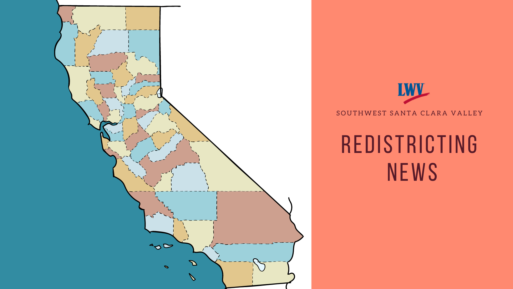
Significant changes in Assembly and State Senate Districts are being considered for our area! The State Redistricting Advisory Commission has just released preliminary maps in what is called “visualizations, shape, and equivalency files”. The maps are difficult to read due to their size and lack of any documentation regarding impacts—this recent link gives the highest resolution maps. What is important for our League members to know is that our current Assembly District 28 is being divided with Saratoga and Campbell being part of a district extending north to Palo Alto and Atherton (“SAMATEO” region), while Saratoga and Monte Sereno (along with Almaden Valley, Morgan Hill and Gilroy) are in a district extending across the mountains and along the coast including Santa Cruz (“GATOSBANK” region). The State Senate also divides the previous district with Saratoga in the Peninsula region extending up to Pacifica (“PENINSULA” region), while Los Gatos, Monte Sereno and Campbell are in a district composed of the Santa Clara County south valley and extending from Santa Cruz to Monterey to San Luis Obispo (“SCLARA” region). The Commission is taking input on these proposed changes now and is moving very fast. If you have any concerns it is important for you to provide your input to the Commission as soon as possible; written input can be given at this link.
Santa Clara County Supervisorial Districts
** There are a couple of significant differences with where to place Los Gatos and how to balance out population imbalances. **
The County Board of Supervisors and the 2021 Advisory Redistricting Commission held a joint meeting on November 2nd. This was the first opportunity for the Board of Supervisors to review the Redistricting Commission’s recommendations and the drafts of the five supervisorial districts redrawn based on 2020 Census data and meeting the criteria set out by the state. Santa Clara County grew by 8.9% over the past decade, rising from 1,781,731 to 1,940,254, and thus the districts’ lines need to be redrawn based on criteria specified by state law.
During the past several months, the Advisory Commission held 15 public meetings, received hours of public testimony, and reviewed multiple maps drawn by community members, organizations and commissioners. They did a tremendous amount of complicated analysis and we are grateful to each of them for their dedication to this important task and particularly to Katie Zoglin (LWV LA/MV) (who represented the SCC Leagues of Women Voters on the Advisory Commission and Nancy Smith who is a Board Member of LWV CU/SU and served as chair of the Commission.
The League has been closely following the process by the SCC Redistricting Advisory Commission and our League’s County Council has spoken to the Commission in support League principles, including:
- Substantially equal populations
- Effective representation of racial and linguistic minorities
- Preserving “communities of interest”
- Keeping cities together to the extent possible
- Compactness
The League is not advocating for specific maps; rather it is encouraging member awareness and for citizens to make their personal opinions known.
Three maps were selected by the Board of Supervisors on their November 2nd meeting with the SCC Redistricting Advisory Commission. All three maps being considered preserve a majority-minority Asian Pacific Islander district, a Latino influence district and split San Jose across numerous districts. They also all unify Sunnyvale into a single district. Los Gatos and Monte Sereno are positioned quite differently in the 3 maps that are being considered, which are called the Yellow, Purple and EE2.0 maps. The links to these maps along with detailed demographic information are:
Yellow map (also called Unity map)
Los Gatos/Monte Sereno, along with Almaden Valley, is moved to District 5, which includes Saratoga, Cupertino, Mountain View and Palo Alto. Campbell is in District 4 with Santa Clara.
In public testimony some commenters spoke against the Yellow map for splitting rural Almaden Valley and Los Gatos away from the rest of the south county. These commenters also stated their opinion that Los Gatos has more in common with the rural communities of Gilroy and Morgan Hill than with cities to the north. Many who spoke against the Yellow map spoke in favor of the EE 2.0 Map, which is the only map that keeps Los Gatos and Almaden Valley in District 1, where it has been the last 10 years.
But, other commenters strongly supported the Yellow map with Los Gatos becoming a part of District 5, along with the cities of Saratoga, Cupertino, Mountain View and Palo Alto. These speakers stated their opinion that Los Gatos and Monte Sereno are not rural communities and have much more in common with Saratoga.
Los Gatos/Monte Sereno are in District 5, which includes Saratoga, Cupertino, Mountain View and Palo Alto, but the Los Gatos mountain region is separated out and located in District 1 with Gilroy. Campbell is in District 4 with Santa Clara. Surprisingly, this Purple map, splits Los Gatos into two districts: the more rural, mountainous part to remain in District 1 to the south and the more urban parts of the town to District 5 to the north. Many commenters stated that communities of interest, like school districts and cities, should be kept intact in the same district. Because of this close connection between the valley and mountain parts of Los Gatos many commenters said this map was unacceptable.
EE 2.0 map (also called the Equal & Equitable map)
Los Gatos/Monte Sereno are kept in District 1 (as is the case now) along with Gilroy, Morgan Hill, South San Jose and Almaden Valley. Saratoga remains in District 5 with Cupertino, Mountain View and Palo Alto. Campbell is in District 4 with Santa Clara. Again, some commenters spoke against this map because it divided Los Gatos from Saratoga, which they considered to have much stronger communities of interest through common school districts than with the South Valley cities.
The League is not advocating for specific maps; rather it is strongly encouraging member awareness, particularly those members living in Los Gatos and Monte Sereno, and encourages citizens to make their personal opinions known.
** Related Story: Santa Clara County lawmakers narrow redistricting proposals by Bay City News Service **
What do you think? Examine and study the maps, assess if they meet the criteria that was supposed to be followed, and form your own opinion. If you have an opinion about these maps you should make your personal opinion known in public testimony at the upcoming Board of Supervisor meeting. The next public hearing is anticipated to take place at 2 p.m. on Nov. 16th. Information on this meeting and Zoom links for public testimony is expected to be posted at https://countyexec.sccgov.org/2021-redistricting-process. Final supervisory district maps must be adopted by Dec. 15th and submitted to the state by December 27th.