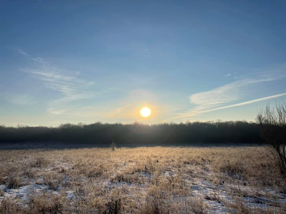
Morgan Park in the Portage County Park District
Park District Facebook photo
Land Use Position Update 2021
Consensus Survey Instructions
The League of Women Voters of Northern Portage County and of Kent have spent close to 3 years updating our land use positions into a combined position for Portage County.
The consensus meeting on our new, combined, land use position is scheduled for Tuesday, April 6 at 7pm online. Information to attend the Zoom meeting will be provided in upcoming communications.
This consensus process will result in a “position” that will enable both Portage County LWV chapters to take unified action locally.
The Land Use Committee (including members from both LWV chapters) has compiled the information into a single survey that will:
- Acquaint (or reacquaint) members with the issues originally presented in the Land Use Study presented in the Spring of 2019
- Prepare members for the Consensus Meeting on April 6
- Guide the formation of the consensus questions for the April 6 meeting
Explaining the terms
- An "update" is the process a League uses to keep positions current and relevant.
- A "position" is a set of principles on which a League can take action on national, state or local levels. This update applies to a local position.
- Survey responses are due March 15.
Do you have questions, or need printed copies of the reference materials or the survey? Contact LWV Kent Environmental Committee Chair Renee Ruchotzke (ruh-HUT-skee) at 330-554-0828 or reneeruchotzke [at] gmail.com.
About the Survey
This survey is a Google Form which will look different from other recent study surveys. You do not need a Google account to participate. Sharing your identity is optional.
We have prepared a one-part survey that will take about a half hour to complete.
Please note that the survey responses do not constitute a vote nor do they contribute to the real time consensus meeting process. They will be used to form the questions that will be presented at the April 6th consensus meeting. Your voice at the meeting makes all the difference in a meaningful and powerful result.
History of Local LWV Positions:
- NPC LWV’s land use position was last updated in 2013
- LWV Kent’s land use position was last updated in 2003.
- Committee formed to review and combine Land Use position(s) of Kent and Northern Portage into a unified position for Portage County, Sept, 2018.
- Land Use Study Presented to members: May 15, 2019
- Change in Committee Chair from Lis Regula to Renee Ruchotzke: Fall, 2019
Fact Sheets:
-
2019 Land Use Study Sub-Topics (click on the titles)
LAND USE SURVEY LINK
Consensus Survey Questions & Resources:
Topic A:
What Considerations Should Guide Land Use That Impact the Citizens of Portage County?
Where we live can have a significant impact on our health and well-being. Citizens who are able to be property owners have some advantages in having control over their property that people who rent or are homeless do not have. But property lines are not impenetrable barriers. How land is used, developed, or left in its naturally useful state can have a significant impact on nearby neighbors or even the whole community.
Recommended Resources (click on the titles):
-
What is a Sustainable Community? (from LWV Kent/Northern Portage Study)
-
What is Sustainable Land Management? (from the Earth Institute of Columbia University)
Topic B:
Who Should Be Involved in Decisions About Land Use in Portage County?
Property rights favor individual needs, but there needs to be a balance that takes into account community rights that include other stakeholders with different interests.
What is a stakeholder? It is defined as the people and organizations who are involved in or affected by action or policy and can be directly or indirectly included in the decision making process. Sometimes, bringing together individuals with different perspectives, interests, and positions has the potential to create conflict. On the other hand, by considering a range of perspectives, it can lead to a larger set of options and quality decisions that are better for all. It is important to include underrepresented groups because they may be most likely to be impacted by an action.
There will be five land use scenarios, asking what level of stakeholder involvement should be required before permits are issued.
You will be asked to use the following scale:
- None: The landowner/leasee has no obligations to stakeholder.
- Informed: The landowner/leasee must make reasonable efforts to inform stakeholder.
- Consulted: The landowner/leasee must make make contact with stakeholder and listen to and consider any concerns, but still makes the final decision.
- Consented: The landowner/leasee must work with the stakeholder to meet any reasonable concerns until there is an agreement.
Recommended Resources (click on the titles):
-
Identifying Stakeholders and their Goals, Needs and Stakes (from The Future of Our Land & the United Nations Environment Programme: Guidelines for Integrated Planning for Sustainable Management of Land Resources)
-
The Roles of Stakeholders in the Planning Process (Small Business Chronicle)
Topic C:
What Kind and Scope of Policies Should Guide Land Use Decisions in Portage County?
Because land use can impact the health and welfare of the wider community, we may want to consider continuing support for a countywide comprehensive plan that guides future land use.
Both Portage County LWV chapters’s current positions refer to a countywide plan. (excerpts follow)
LWVNPC:
Support county-wide planning and cooperation with adjacent counties when not in conflict with other land use policies. (Portage County Regional Planning Commission)
Support of long-range Land Use planning for all areas within Portage County which provides for efficient transportation, efficient delivery of services and protection of environmentally fragile areas such as steep slopes, flood plains, scenic areas, rover corridors and wetlands.
LWVK:
Adoption by governmental subdivisions of zoning ordinances which are based on the county's comprehensive plan and include.
Prescribed setbacks with appropriate vegetation requirements that would establish adequate buffer zones to protect wetlands, floodplains, wildlife habitat, and other environmentally sensitive areas.
Conservation development overlay districts that permit higher density
Wide varieties of zoning regulations.
Recommended Resources (click on the titles):
Topic D:
Should Any Particular Types of Land Use Be Given Special Consideration?
The science communities have been developing a nuanced understanding of the importance of certain critical ecosystems to the thriving of humans. We may wish to include special consideration for particular land qualities to our land use position.
Recommended Resources (click on the titles):
Topic E:
What Kinds of Public or Community Amenities Should Be Supported?
What kinds of public/community infrastructures support the common good?
Past positions have been concerned with the development of a transportation system throughout the county that is intermodal in nature, including networks of pedestrian and bicycle trails and greenways connecting communities and providing regional transit and rail alternatives to major commercial and employment centers.
Recommended Resources (click on the titles):